Landscape Photography
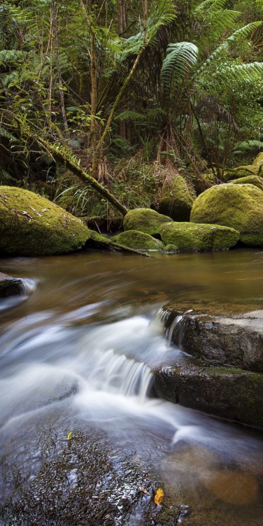
Toorongo River Victorian Landscape
23
Jun
Jun
Appeture
f/2.8
Speed
1/20 sec
Focal Length
Lens 16-35 @34mm
ISO
100
Crop Ratio
2:1
File
Shot in Raw
edit Bridge and Photoshop
Toorongo River Victorian Landscape
-37.849568, 146.045575
Toorongo River rises below Cone Hill within the Mount Toorongo Range, part of the Great Dividing Range, in remote country east northeast of Powelltown Victoria. The river generally flows south, joined by one minor tributary and is fed by drainage spilling over the Toorongo Falls before reaching its confluence with the Latrobe River, near the Mount Baw Baw Road, north of the locality of Neerim North in the Shire of Baw Baw. The river descends 490 metres (1,610 ft) over its 12-kilometre (7.5 mi) course.